Monday, October 14, 2019

Where Wilson Meets Menomin

Menomonie

Right of ways on the rail came in after Knapp Stout were in operation.   Obviously, 1880-1890 didn't have much in the say of aerial viewing capability but detailed maps are the next best option for us now.

And obviously, we are no well-paid specialists here with several tens-of-thousands of dollars in equipment to get it much better, so it isn't going to be a perfect.   But this raises a lot for the "lost and gained" discussions and should provide for a good basic reference point.

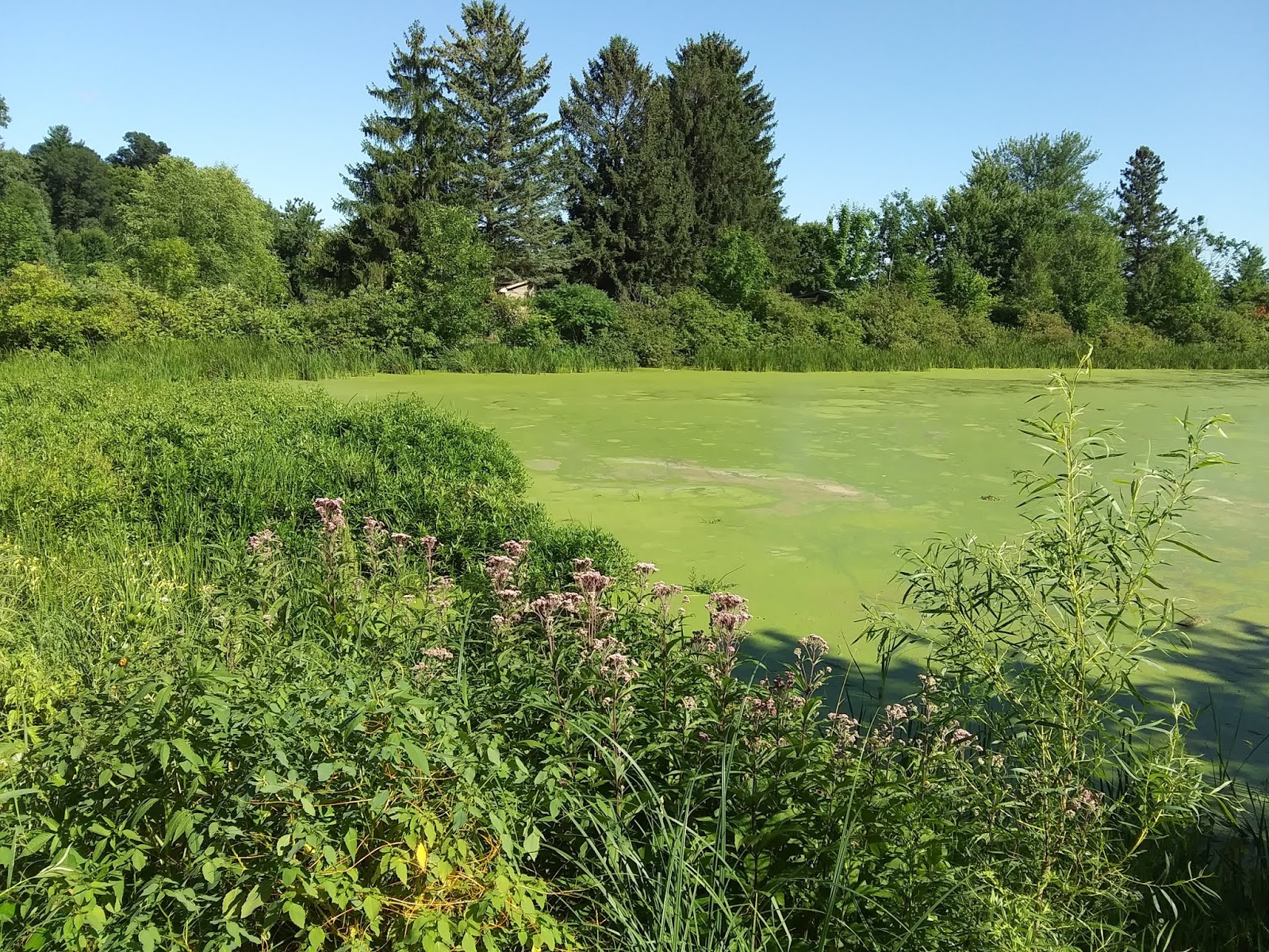
The main channel of Wilson Creek is still quite deep on the east bank, sediment is more apparent on the west.  

When Knapp Stout built the Wilson Creek shingle mill where they did, they likely didn't choose the west bank for a reason.

The north ends of the Red Cedar River bridges/ North Broadway go right over the old barracks.   Of course, the south end of one bridge goes right over the Wisconsin Milling Company location.   (that was a landmark of Menomonie for about 100 years, btw).

The many structures on Meadow Hill have no trace, but Meadow Hill Road looks like just a centerline at that time.

Saturday, October 12, 2019

Uncommon view


Up for auction now, for a limited time, the #1 in the series, view of the Bridge Over The Red Cedar River.   Postmarked 1951, the bridge put in 1942, the centennial banner (1946) on the Wisconsin Milling Company building the background, this is an uncommon view of Menomonie with a solid "when" this view existed.

Too bad the powers of Menomonie chose to have the "biggest lake" as they could get, had they gone with the same level (which was actually an option available) the old 1908 "engineering feat" steel bridge could have been a great location for modern 21st century Menomonites to fish from, to walk or bike across, or just sit and watch the sunrise.  Or the sunset, which would have been spectacular staring down the westward river horizon.

But....  BIGGER, BETTER, FASTER....  all eroding away at the post-lumber company city that existed without it for the 120 years since that concern packed it up.

Menomonie Fish and Game Association 1925


From August, 17, 1925.  The Menomonie Fish and Game Assn. builds a hatchery.  Notice, it isn't the "Dunn County" Fish and Game.

Also, of particular note, is the mention of the local Izaak Walton Club.


A 1920 Canoe Trip to Colfax.


56 Miles,  18 hours paddling, away for 45 hours.

Start to The Large Steel Bridge:   3:30-4:10

Cedar Falls Portage.

Canoe number 6.

Sandbars, Stumps, and Logs on the upper end of Lake Colfax.

Camp  Decomfort.

Pickle Egg Ridge on the Hay River.

Point Neptune.

Krogstad's Landing.


Sunday, October 6, 2019

Cedar Falls Dam.


The Knapp, Stout, and Co. shingle mill at Cedar Falls was serviced by the Milwaukee short line that currently forms the outer portion of Wolske Bay.    The rail bed is well submerged from view since the spring waters rose in 1958.     Almost right on the bed have been placed some fish cribs over the years.


Cedar Falls is outside the city limits of Menomonie but has an older dam compared to the Menomonie dam.  While it has had some repair work in the last couple decades it is over 100 years old.  Unlike the Wissota dam that garnered much media attention for the age, the Cedar Falls dam seems to be just there.

Of course, the Tainter Lake area is outside the limits of the city of Menomonie and unlike Lake Menomin, doesn't fit into the commercialization imagery that downtown or Main Street, or UW Stout can use.  

Tainter Lake is the sandy, swampy, wetland, that was beaten into a farming land.    Then the farm was flooded with the creation of the Moore Farm Lake, Lake Colfax, Lake Menomonie, or Lake Tainter.    The new lake didn't seem as planned as Lake Menomin, under the direction of Senator Stout, which did have conservancy and "park" recreation use intended as part of design.    No, Tainter Lake didn't seem to have a consistent name for decades.


Let's take a look at the Cedar Falls dam, the creator of Tainter Lake:


Tuesday, July 30, 2019

Signs of decay 2019


July 30, 2019.   This is surprising considering the longer spring and a decent amount of rainfall.   Still water, the old black pumps that are not even a full 10 years old are inoperable, the Medora Solarbee could be "on" but it definitely not changing anything.  

We did not expect to see any of the blue in any area yet this year, but it is here.  That blue is when it starts to decay and release odor.

So, what happened up stream.  And there are other locations on Lake Menomin in this same condition, too.  Simply because you can drive close to this spot, don't think it is the only one.   The entire south lake bank below downtown is not fairing much better today.

Lake Menomin


Mayor Randy Knaack

But today, where are the "solutions" that were going to produce results?
Wolske Bay


Sunday, July 21, 2019

A swale.


Headlines are powerful hooks.  If the reader goes beyond the headline does it really matter?

How about context?   


This next part is particularly interesting.   One of the UW Stout scientists Arthur Kneeland was reportedly "studying" more recently the potential of a floating wild rice platform as a solution to the blue-green algae.    Of course, the subject of solutions and ideas coming from UW Stout is a topic consisting of decades of Menomonie news hype where there is almost never any benefit for Menomonie, so we will leave that subject for another time.

Did you catch that above?   "That bay down there where boats and pontoons are stored was nothing but a swale."     Green said it best.

So, we have elevations on survey maps from the 1900's, Green telling us the northern bay was a swale, and then flash forward to Mayor Randy Knaack and the people behind the dredging who say the "bay is filling in" and must be dredged.

It just boggles the mind that Knaack declares a one-man war on algae and wastes a quarter-million dollars on a stupid dredging project.   And then the mind is blown when the expert engineers totally did not measure the depth of the so-called "muck" and had to stop much shorter in depth because...., well because THAT spot was never that low to begin with.

Do you think Knaack did not include the height he grew since the early '80's and just didn't figure that into his scientific depth calculations?

Someday we might find how he measures "muck."   Meanwhile, no one will care about further wasteful spending from the downtown government leader.

What is a swale? 


Of course it isn't all bad, there is some great potential left.  But like most things in the history of Menomonie, people like us won't have enough money or resources to make a thing happen.   The people with the money will worm their way into the city echelons and spend the city money on destroying longer term Menomonie character.  Yes, character.     That old Lee Building downtown might have indeed outlived its usefulness, but it had character.    The replacement hotel building is about as cookie cutter as any freeway off-ramp hotel.

That's the crowd the downtown Menomonie government likely wants to attract, however.  The out-of-towners, leave your money and get back on the interstate.


It's too bad Menomonie is becoming less of a single family town and more of an investment rental market.