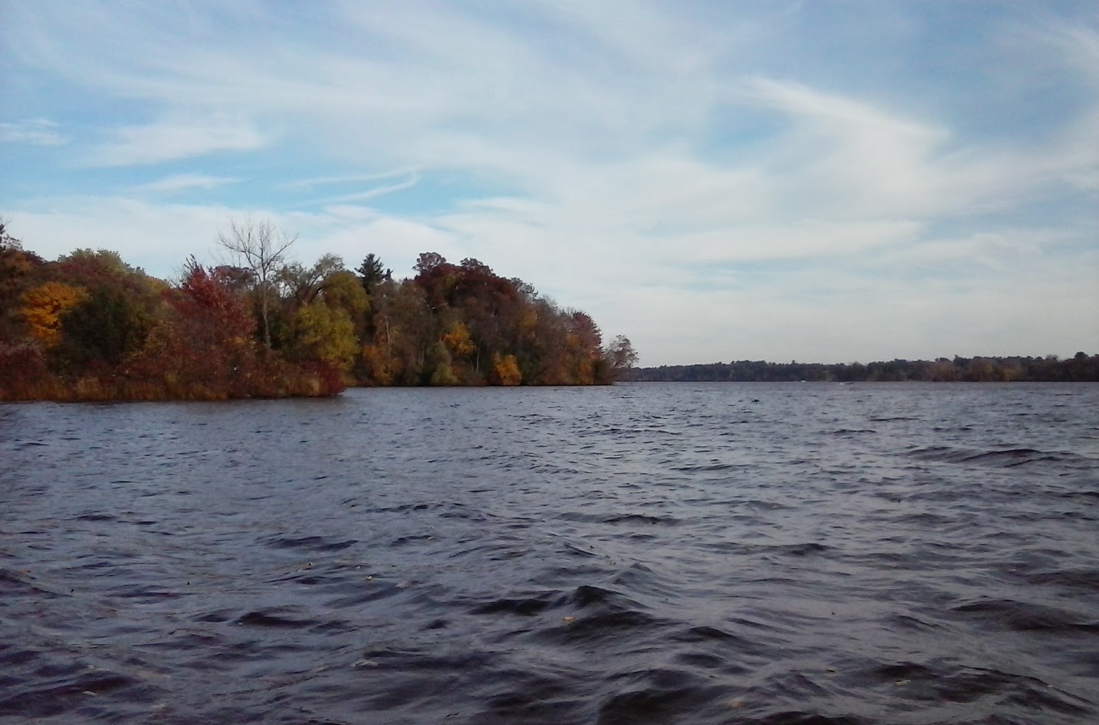
Friday, October 20, 2017

Wolske Bay Menomonie, WI

Various views of Wolske Bay on Lake Menomin in Menomonie, WI from October 20, 2017


Monday, October 16, 2017

Lake Menomin

 Photo credit: Penny Mannel
  Photo credit: Penny Mannel
  Photo credit: Penny Mannel
  Photo credit: Penny Mannel


Here you can see the dry land that juts out just beyond the light post.  That is all lost to a new elevation of the water by 10 feet.     Also note here in 1957 there is only one Hwy. 12 bridge.   
  Photo credit: Penny Mannel
 Photo credit: Penny Mannel

Sunday, October 15, 2017

Lake Menomin

The rail bed in the lower right foreground is the "Milwaukee Road" short line that ran from the Knapp, Stout, & Co. Mills in Menomonie to the shingle mill in Cedar Falls from 1882-1901.

In the distance, left and center at the shore line is the White Boat House.

The steel truss bridge right and center still has foundation remnants present on the far side of the river, but the Wisconsin Milling Co. mill is mostly paved over by the newer Hwy. 12 bridges.  (western southbound in 1940's and eastern added in the 1980's).


Photo credit: Jon Anderson

Removing the old to make room for New Lake Menomin


Tuesday, October 3, 2017

The beaches were covered in slime?


From the Dunn County News, June 17, 1959, less than two years after Lake Menomin became 10 feet deeper.


Sunday, September 24, 2017

The result of dredging


"Hard bottom" apparently was the restriction for further depth creation.    For some reason the depth of the "muck" proclaimed by local politicians was simply just not there, was Wolske Bay really not "filling in" as much or fast as someone proclaimed?   

Was it all just a political stunt?

Saturday, September 23, 2017

The reason for dredging.


Many emotion-filled rumors and commentary have spread across Menomonie on the purpose of the dredging of Wolske Bay.   This is the reason the City of Menomonie commenced with this project:


However, Lake Menomin has a current water elevation at around 814 feet and lets consider that the lower surveyed point here near the future Wolske Bay was around 808 feet 100 years ago.